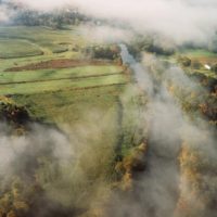
Quinebaug River

Quinebaug River
Quinebaug is derived from a Native American word meaning “long pond”, from qunni-, “long”, and -paug, “pond”.
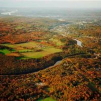
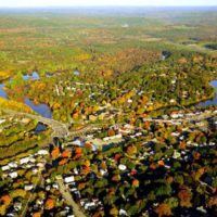
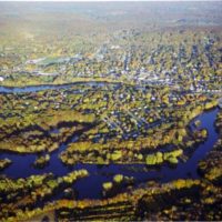
The Quinebaug River regional watershed is 255,070 acres, extending into south central Massachusetts and ending where it flows into the Shetucket River in Norwich, CT. Reginal tributaries of the Quinebaug River include the French River in Thompson, Little River in Putnam, Mashamoquet Brook in Pomfret, Blackwell Brook in Canterbury, Five Mile River in Danielson, Moosup River in Plainfield and Pachaug River in Griswold.
Interesting fact: Mashapaug Pond in Union, CT has two outlet dams. One outlet flows to the north and is beginning of the Quinebaug River. The other outlet flows to the south into Bigelow Brook, which is part of the Natchaug and Shetucket River watersheds.
Several sections along the Quinebaug River and the Little River were designated greenways by the Connecticut Greenway Council:
Killingly 2002
Canterbury 2011
Griswold 2016
Little River (Woodstock/Putnam) 2006
The Quinebaug River has several miles designated as National Recreational Trails by the National Park Service.
A paddle guide for the Quinebaug River can be downloaded from The Last Green Valley website.
The US Army Corp of Engineers maintains several flood control dams and recreation areas along the Quinebaug River.
East Brimfield Dam & Lake
Westville Dam & Lake
West Thompson Dam & Lake
In 2017, the TRBP featured Little River (Woodstock and Putnam, CT), a National Water Quality Initiative Watershed in our annual Floating Workshop.
In 2015, the TRBP featured the Upper Quinebaug River, Headwaters to the Thames in our annual Floating Workshop.
Documents related to water quality in the Quinebaug River watershed include:
Muddy Brook and Little River Water Quality Improvement Plan
Mashamoquet Brook Abbreviated Watershed Based Plan
Roseland Lake Management Plan
Nutrient Loading and Algal Response in West Thompson Lake, Thompson, Connecticut
Quinebaug River Ecohydrology Report


