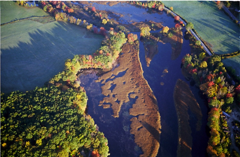
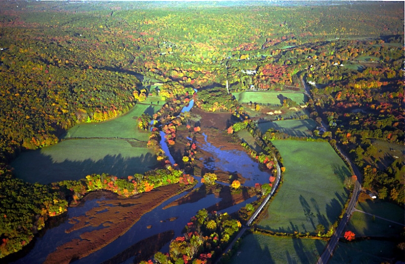
Willimantic River
Willimantic River
Willimantic is derived from the Native American word meaning “land of the swift running water” or “place near the evergreen swamp”
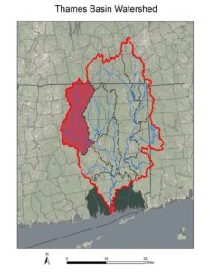
The watershed area of the Willimantic River is 144,322 acres and extends into Monson & Wales, Massachusetts. Tributary streams in the Willimantic River watershed include Middle River, Furnace Brook, Roaring Brook, Bone Mill Brook, Eagleville Brook, Cedar Swamp Brook, and Mill Brook, Skungamaug River, Hop River and Ten Mile River.
As part of a natural resource conservation strategy, the Willimantic River was designated a State of Connecticut Greenway in 2003.
Through a joint effort of The Last Green Valley and the Willimantic River Alliance, parts of the Willimantic River were designated a National River Trail by the National Park Service in 2012.
A downloadable Paddle Guide to the River is available on The Last Green Valley’s website.
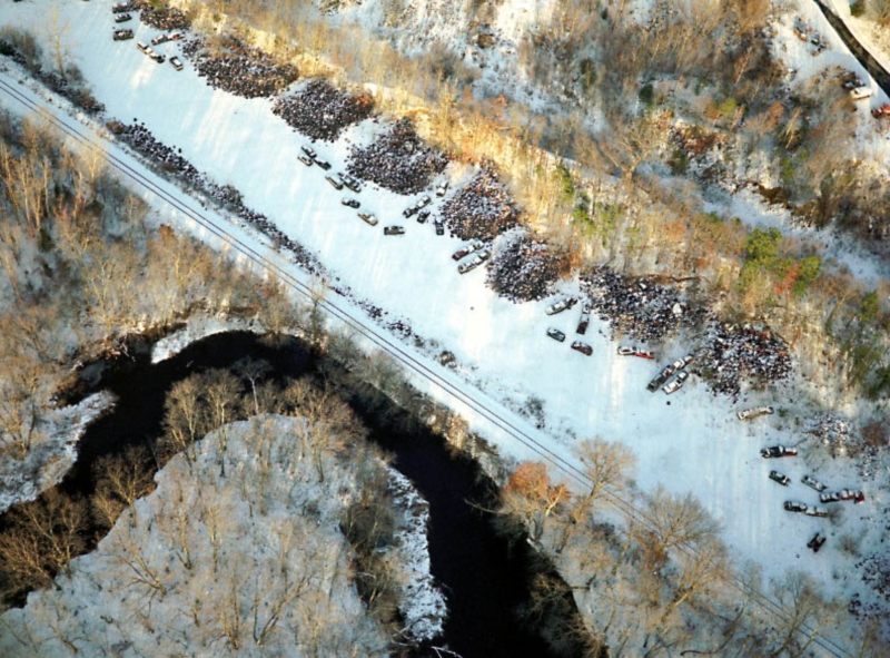
The Thames River Basin Partnership featured the 40th anniversary of the Clean Water Act featuring the Willimantic River, from open sewer to National Recreation Trail Willimantic River as a success story for the Clean Water Act in our 2012 TRBP Floating Workshop.
The Willimantic River Alliance is a nonprofit organization created to protect and preserve the Willimantic River through cooperative and educational activities.
The Willimantic Whitewater Partnership is a non-profit organization focused on the development of a whitewater park in downtown Willimantic.
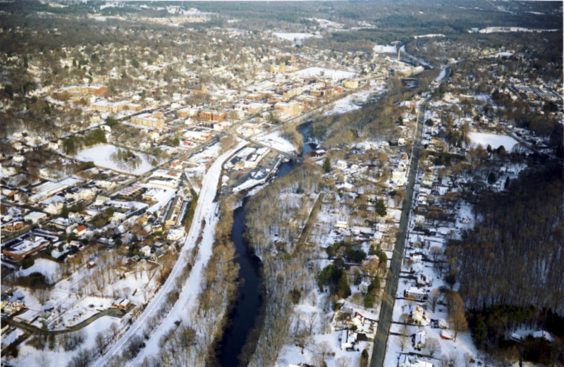
In Windham, Connecticut, the Willimantic River joins with the Natchaug River and becomes the Shetucket River.
Documents related to water quality in the Willimantic River watershed include:
Eagleville Brook Watershed Management Plan